This site looks much better with JavaScript turned on. For the best experience, please enable JavaScript and refresh the page.
The Needles to Cerne Abbas
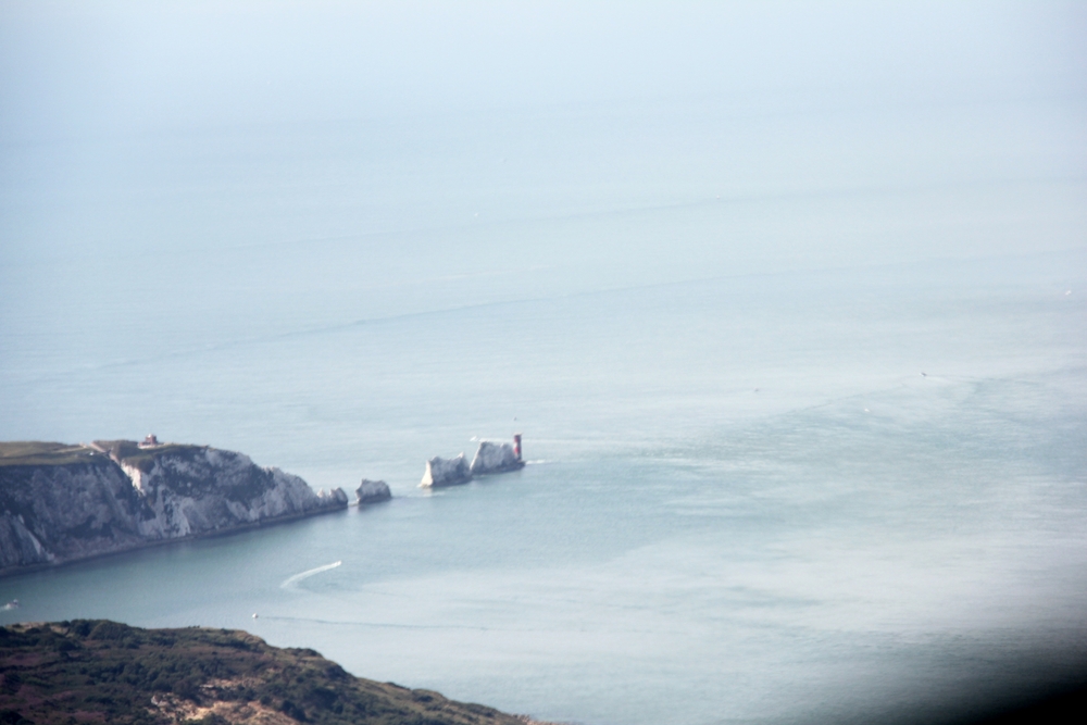
The Needles five miles away from above Hurst Castle.
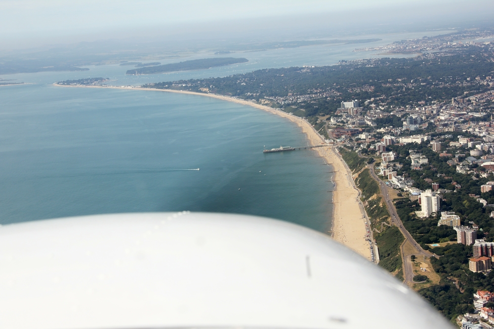
A magnificent view looking west through the propellor along Bournemouth Beach, showing the town at the right, and the Pier dead ahead. Poole
Bay is to the left and Poole Harbour in the distance.
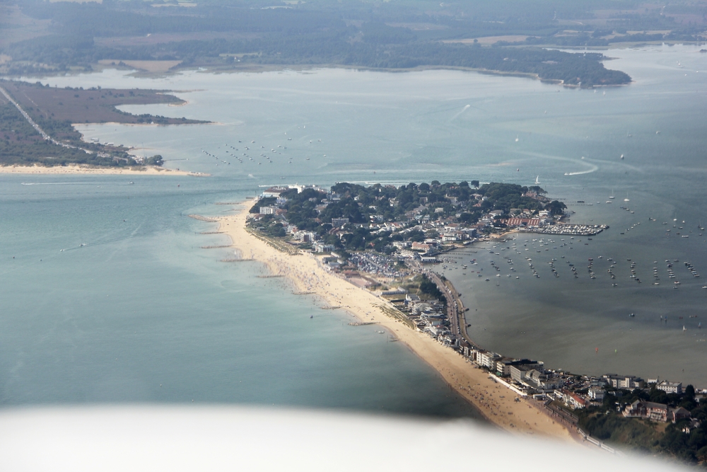
Sandbanks, one of the most expensive places to live in the UK, at the entrance to Poole Harbour, the second largest natural harbour in the world.
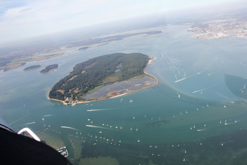
Looking north from above Sandbanks over Brownsea Island in Poole Harbour. Poole itself is at top right.
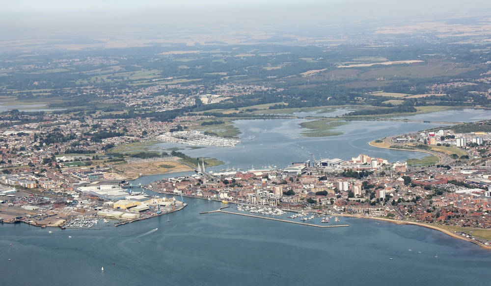
Poole, with its two lifting bridges just visible (if you know where to look!).
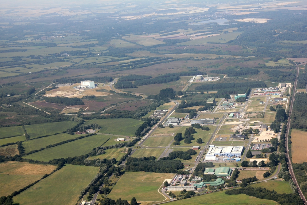
The site of RAF Warmwell's dummy airfield (manned by my father during WW2). It became Winfrith Atomic Power Station in the
1950s and is now being decommissioned and demolished.
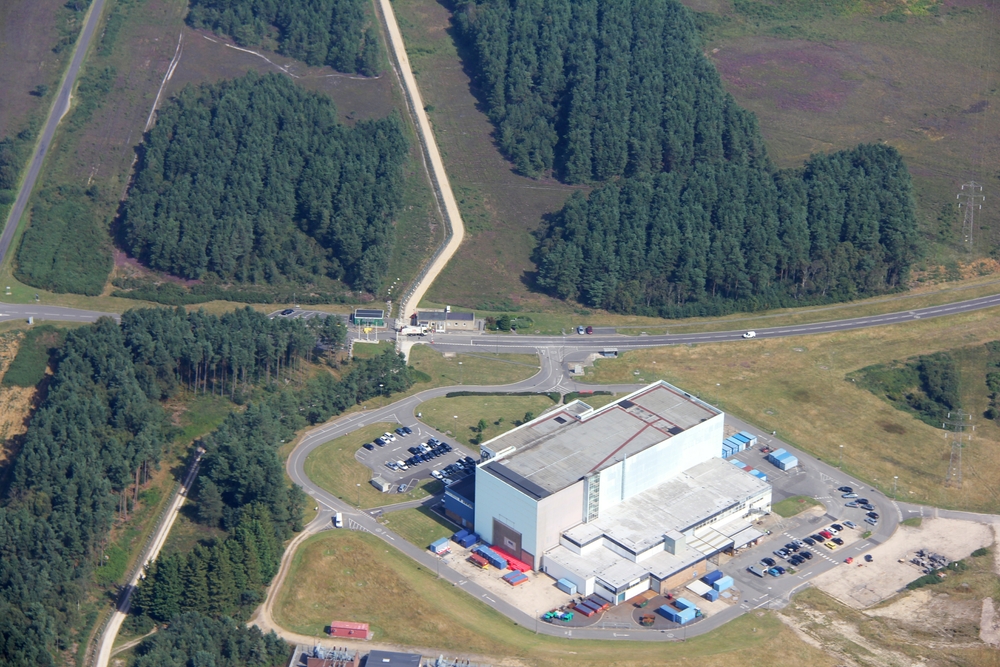
The security gate at Winfrith AEA. The public highway is visible at the top left, and the road running left to right across the photo is
Monterey Way. The security gate on Monterey Way is just above and to the left of the centre of the photo. This was the site of the dummy
airfield's Nissen hut and bomb shelter/control bunker.
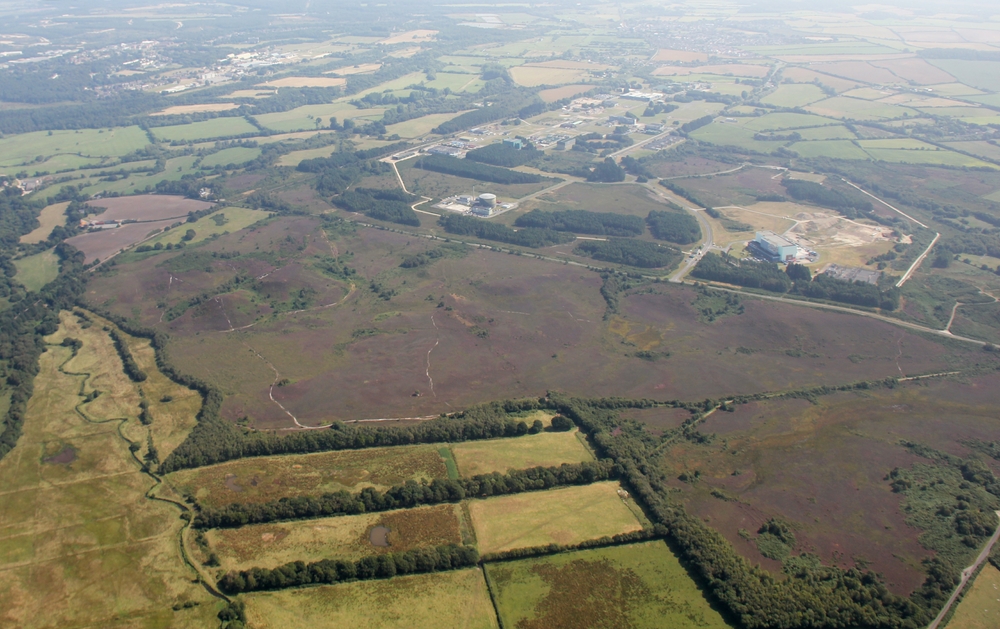
View of Winfrith AEA site / the RAF Warmwell dummy airfield site from the west. The purple heather-covered heathland in the
foreground was part of the dummy airfield site.
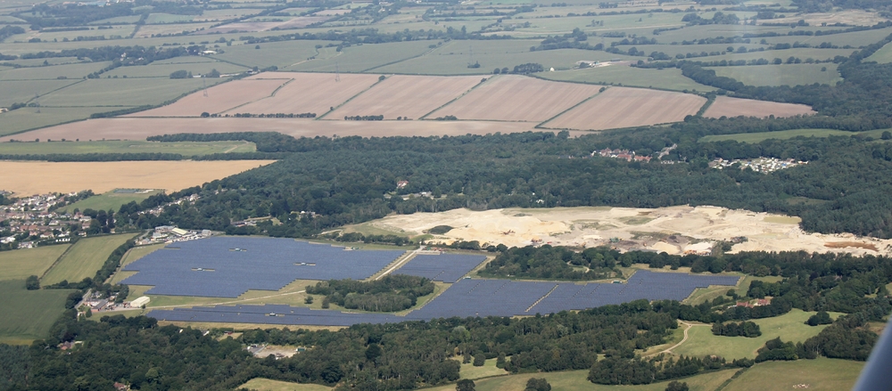
Solar farm between RAF Warmwell's real and dummy airfields.
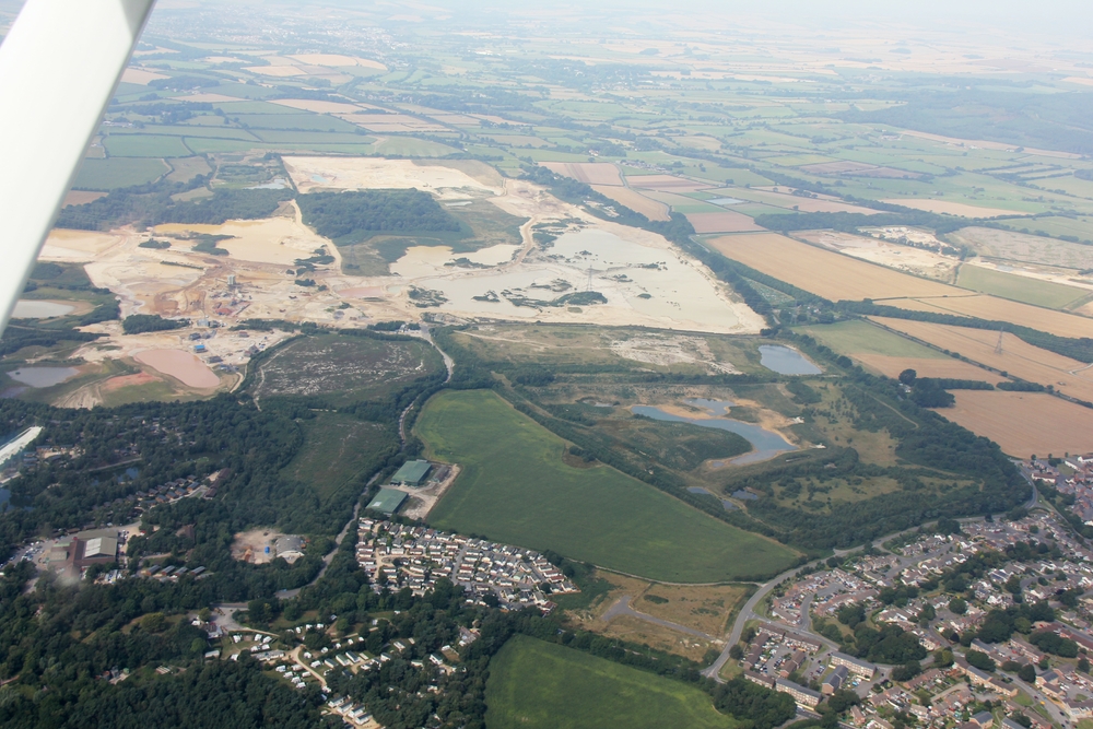
The village of Crossways, Dorset is at the right. RAF Warmwell used to be on the area to the left of the village. Many thousands of tons of
gravel have been extracted from the site. The two large green buildings just below and to the left of centre are all that remains of
RAF Warmwell - two aircraft hangars, now used as storage barns by a local farmer.
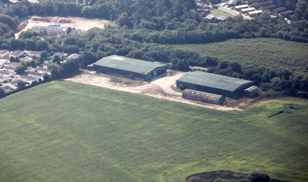
These two large green buildings are all that remains of RAF Warmwell - two aircraft hangars, now used as storage barns by a
local farmer. There also seems to be a Nissen hut.
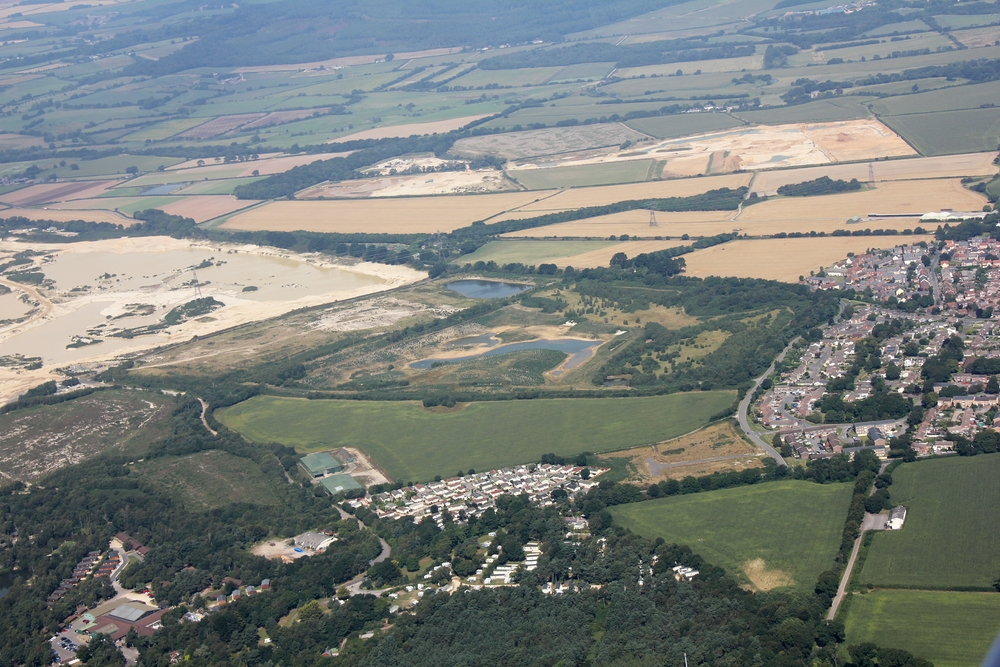
The village of Crossways, Dorset is at the bottom right. RAF Warmwell used to be on the area above and to the left of the
village. Many thousands of tons of gravel have been extracted from the site. The two large green buildings just below and to the
left of centre are all that remains of RAF Warmwell - two aircraft hangars, now used as storage barns by a local farmer.
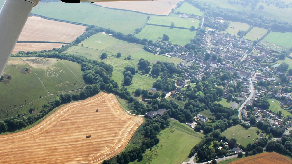
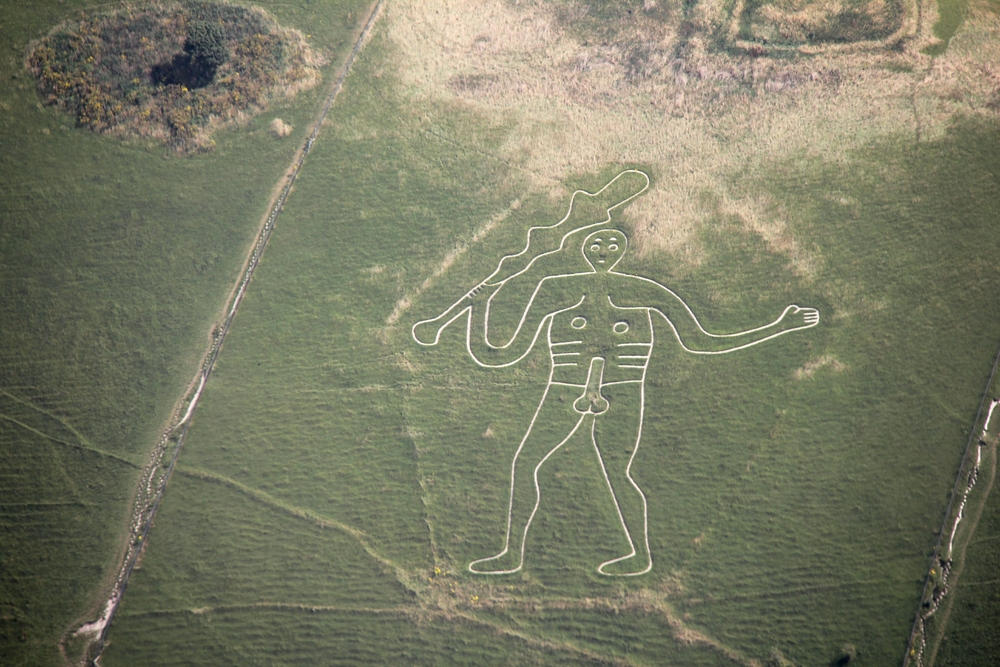
We've headed north from the Warmwell/Winfrith area. The village of Cerne Abbas, with the famous Giant on the hillside to the left.The Cerne Abbas Giant.